
ZANDER IN RIVERS · STRUCTURE INSTEAD OF SPOT NAMES
The groyne is occupied: Where can you find zander at other current seams?
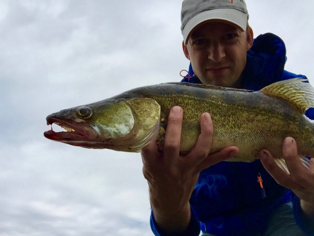
Why are groynes interesting when fishing for zander?
A groyne is not a magical zander parking spot. It changes the current. Water accelerates, breaks, and turns around it; calmer areas and transitions form alongside it. This is exactly where prey can briefly be swept out of line or gather. For a good hunting spot, a zander needs not only food but also a position it can hold without expending too much energy.
The previous article was right about its central question: Anyone who sees only the one familiar groyne overlooks the logic behind it. However, not every groyne is the same, and not every current seam is active. Water level, turbidity, season, prey, and fishing pressure also play a role. A groyne therefore becomes a useful starting point only when you can explain: Where does the prey come from, where can the zander wait, and what path does my lure take?
Which parts of a groyne should you assess separately?
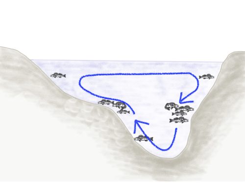
- Upstream side: This is where water hits the structure. It can carry food but may also have too much pressure for a controlled presentation.
- Groyne tip: The visible transition between the current and the eddy. Check its sides and the depth in front of it, not just the point.
- Eddy: Provides calm water. The key area is often not the still center but the inflow or seam along the moving water.
- Outflow: This is where water leaves the eddy again. Prey can be carried out; the transition deserves a deliberate casting angle.
- Channel and bottom edge: Often lies beneath or alongside the visible structure. It may be the actual route between deeper and shallower water.
Mentally divide the groyne into sections and do not fish everything at once. A strike at the outflow means something different from a strike at the edge in front of the tip. Only by separating these zones can you learn from the result next time.
Which structures can serve the same function as a groyne?
If the popular groyne is occupied, do not keep walking in frustration until the next one is free. Ask: Where else does the river create a transition here? On an outside bend, the cut bank can have deeper water and stronger current, while a shallower point bar lies opposite it. A small underwater point, a bend in the riprap, or the edge of a harbor can create a similar seam.
A channel is also more than just “deep water.” Its edge can connect a prey route with a retreat area. A channel becomes especially valuable when it adjoins a calmer pocket, a sharp bottom transition, a bay, or an inflow zone. You can find the detailed basic model in Finding Fish in Rivers.
On the map and along the bank, therefore, look for three similar functions: a distinct channel edge, an outflow, and a calm seam. This gives you a plan instead of leaving you waiting at the occupied groyne.
How do current seams form in a river?
The previous article explains river bends and the different areas of cut banks and point bars. This remains useful as a basic concept: Through its speed, water shapes the bottom, eroding material and depositing it elsewhere. This creates channels, shallower zones, edges, and shifting current paths.
The Coriolis force is also part of understanding the river system: Because of the Earth's rotation, water in moving bodies of water is deflected sideways. Together with the river's course, gradient, width, depth, bank shape, obstacles, tributaries, and water level, this influences the current patterns that create channels, edges, and calmer zones in a particular section.
For practical fishing, observe how the water is moving in the particular section today: Where does it accelerate, where does it become calmer, where do transitions form, and how does the water level shift these lines? This observation connects the shape of the waterway with the lure's actual path.
The current can look different at the surface than it does near the bottom. Use visible lines as a starting point, then check depth, bottom contact, and lure movement. Safety always comes first—neither deep drop-offs nor slippery groynes justify taking risks.
How do river level and water level change a groyne spot?
At higher water levels, the main current can push farther into the groyne area. Calm pockets become smaller, new bank areas are flooded, and lure control becomes more difficult. At low water, the flow often becomes more concentrated; channels and hard edges become more distinct. This is not a universal rule for every river, but it is a reason always to record the water level along with your strikes.
The trend is more important than a single reading: Is the water level rising, falling, or stable? Is turbid water arriving after rain? Has the current at the edge visibly changed? If so, your previous experience at the groyne can only be a starting point, not a decision.
How do you fish a transition without pulling the lure out of the strike zone?
If you cast diagonally across a current seam, the lure can travel longer along the suspected line. Casting upstream, downstream, or across the current changes speed, pressure, and the sinking phase. Do not choose the longest cast; choose the path on which you can feel the zone with control. Especially along a channel or at a groyne tip, a jig head that is too heavy can quickly make the soft plastic drop below the relevant depth.
Start with bottom contact and a clearly defined hop height. Then test the height of the edge and slightly above it. A small lift can help keep the lure at that depth longer; large hops often only make it disappear more quickly. Find more about presentation in Dragging, Jigging, and Lifting.
Which mistakes waste time at groynes and edges?
- “Groyne equals hot spot.” A groyne is only the shape; prey, current, and depth determine its function.
- “If it is occupied, the fishing day is ruined.” Look for a channel edge, outflow, bend in a sheet-pile wall, or outside bend with a similar current.
- “I have fished the groyne thoroughly.” One cast at the tip tests neither the eddy, the outflow, nor the base of the edge.
- “The previous explanation always applies.” Check the water level and local current instead of relying on a blanket theory.
- “Changing lures more often will solve the location problem.” Change the area, angle, or depth first.
How do you find an alternative spot when the groyne is occupied?
- Identify the function: Is it the outflow, channel edge, seam, or sheltered eddy that interests you?
- Look for a similar shape: Compare an outside bend, riprap, harbor edge, inflow, point, or bend in the channel.
- Assess the water level: Which areas are actually calm enough today and reach the right depth?
- Check for prey: Observe small fish, floating debris, activity, and food in relation to the current.
- Plan the lure path: Choose an angle that follows the edge or outflow with control.
- Record the result: Noting the part of the structure, water level, depth, and strike preserves the information for your next visit.
The best alternative to an occupied groyne is not a secret number. It is a section whose function you understand. Anyone who can read current, depth, and prey will find more opportunities—and will not get hung up on a spot's name.
Sources and retained material: The new page retains the existing WordPress URL, the core approach of “current instead of groyne numbers,” and two original images from the previous article. The structure, direct short answers, water-level information, lure path, alternative structures, and internal links were expanded.