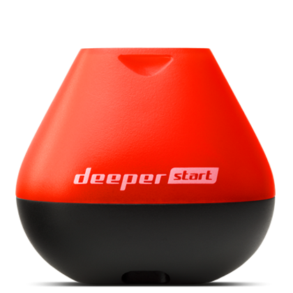
Deeper START
For someone who wants to understand depth, the bottom line, and possible vegetation from shore without immediately starting a mapping project.
View Manufacturer Specifications →
BUYING GUIDE · SHORE FISHING · UPDATED AUGUST 2026
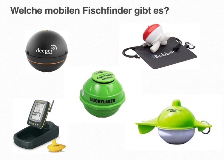
The old “Top 5” comparison made sense at the time, but it included devices that no longer provide reliable buying guidance today. The strong URL is therefore being retained, but the content has been completely reassessed: current castable fish finders, clear limitations of the technology, and above all the question of what information about your waters you are really missing while fishing.
The technical specifications come from current manufacturer information as of August 24, 2026. This is not a purported laboratory test of every new device. Our genuine earlier hands-on experience with Deeper devices is clearly identified as such; we initially assess current devices based on verifiable functionality, intended use, and manufacturer specifications. A device receives a full long-term review only after we have used it ourselves on the water for an extended period.
A castable fish finder is attached to the rod or mounted on a kayak or small boat. It transmits its data to a smartphone by radio or Wi-Fi. That makes it appealing to shore anglers: You do not need a permanently installed boat fish finder, but you can still scan an area systematically. The main benefit is not a colorful fish display. It is the ability to eliminate unproductive areas more quickly and specifically examine likely fishing spots.
At a gravel pit lake, you may want to find a plateau and its drop-off. On a river, you are looking for the channel, groyne head, and slack-water area. When carp fishing, feeding routes, transitions, and depth are often more important than a single fish signal. If you do not have these questions, you can quickly end up paying for features you never use.
| Model | Who is it for? | Strength | Important limitation |
|---|---|---|---|
| Deeper START | Easy entry, occasional shore exploration | Simple sonar image, very low barrier to entry | One fixed, wide cone; no device functionality for detailed work |
| Deeper PRO+ 2 | Shore anglers who want to use maps and structure seriously | Three frequencies, GPS mapping, and up to 100 m scanning depth according to the manufacturer | The data only becomes valuable when the display is interpreted correctly |
| Deeper CHIRP+ 2 | Proven CHIRP option focused on mobile detail work | Three CHIRP cones, up to 120 m range, and 15 hours of battery life according to the manufacturer | Older generation within the current product family |
| Deeper CHIRP+ 3 | Anglers who map in detail and plan recurring trips | 3D bathymetry, three cones, GPS, and USB-C according to the manufacturer | More map data does not automatically mean better spot selection |
| Deeper CHIRP+ 4 | Tech-savvy anglers who want to deliberately evaluate current AI/3D features | AI-assisted interpretation, personalized bottom/vegetation maps, and 3-frequency CHIRP according to the manufacturer | New AI features still need to prove themselves in independent real-world use |
| Garmin STRIKER Cast / GPS | Simple smartphone sonar within the Garmin ecosystem | 2D and flasher mode, up to 60 m wireless range; GPS version for Quickdraw maps | Shorter range and a less variable view than current Deeper CHIRP devices |
A note on wording: “Up to” for range, depth, or battery life is a manufacturer specification under suitable conditions—not a promise for every wind, every cast, and every smartphone. This applies to all brands.
For someone who wants to understand depth, the bottom line, and possible vegetation from shore without immediately starting a mapping project.
View Manufacturer Specifications →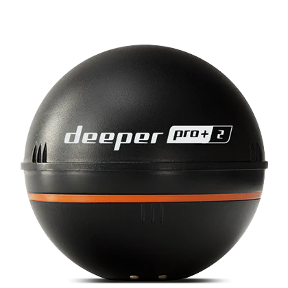
The sensible next step for shore anglers who want to save points and get to know their waters better over multiple sessions.
View Manufacturer Specifications →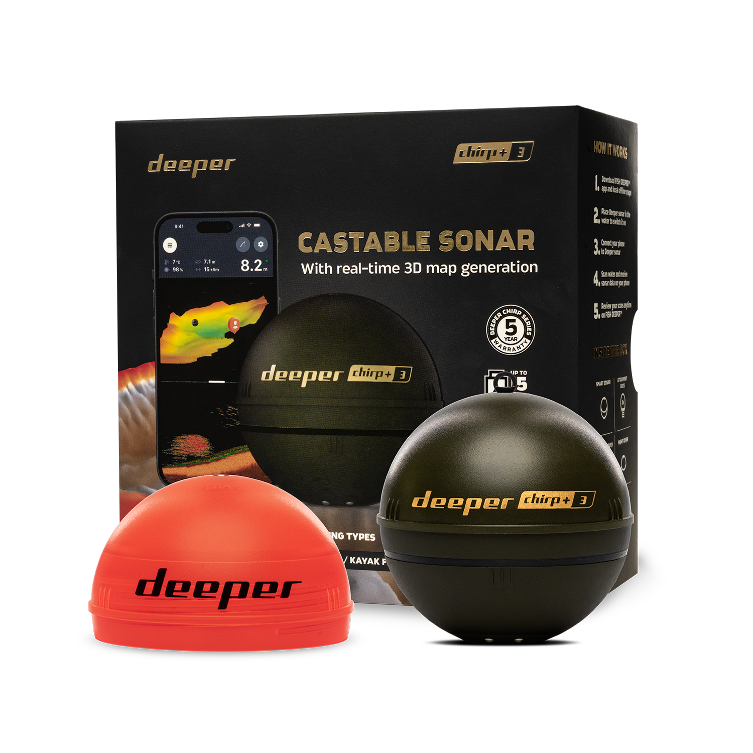
An interesting option if you frequently fish the same waters and genuinely use 3D maps and variable cones.
View Manufacturer Specifications →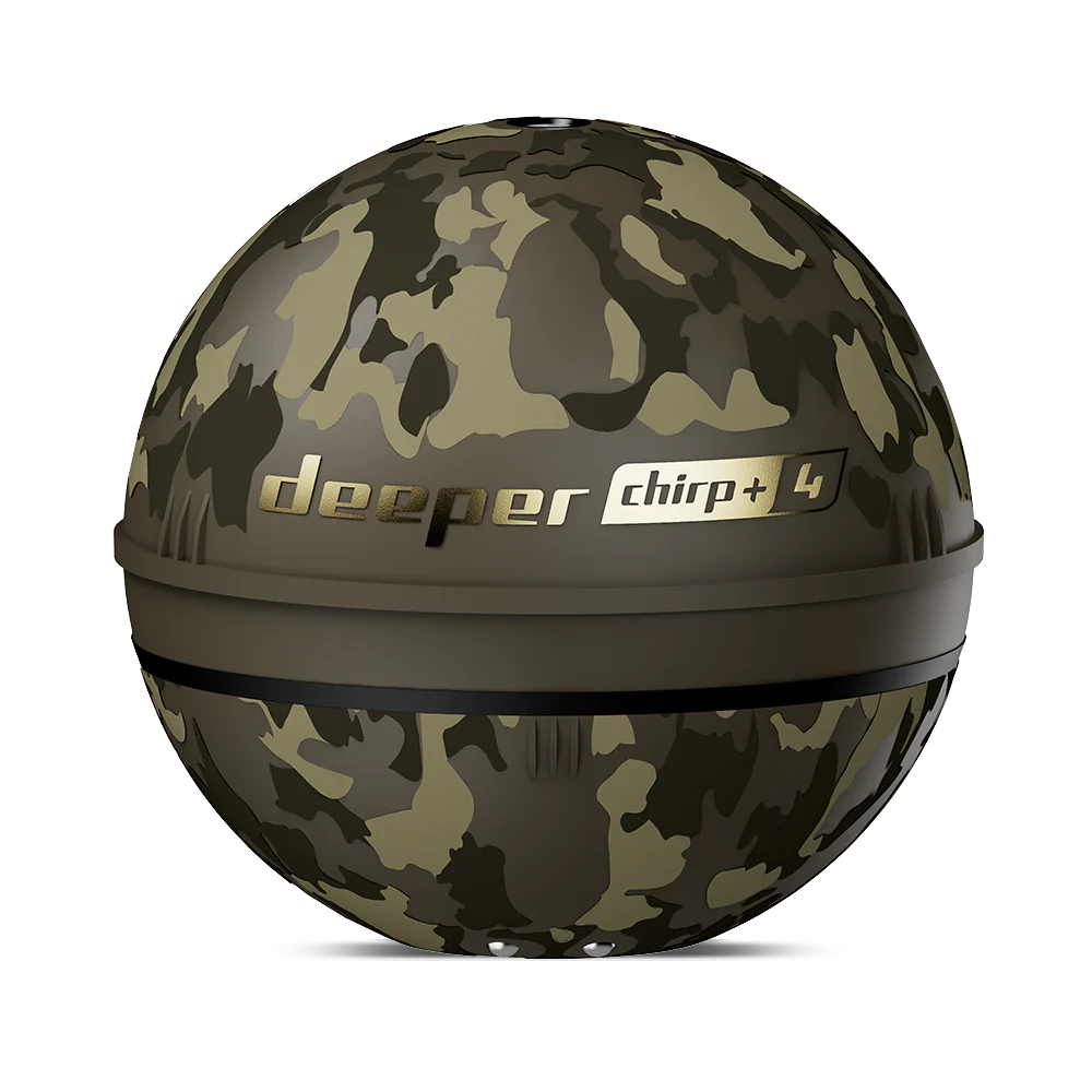
Current premium generation. The AI and 3D features are intriguing, but they require an independent long-term review rather than mere advertising claims.
View Manufacturer Specifications →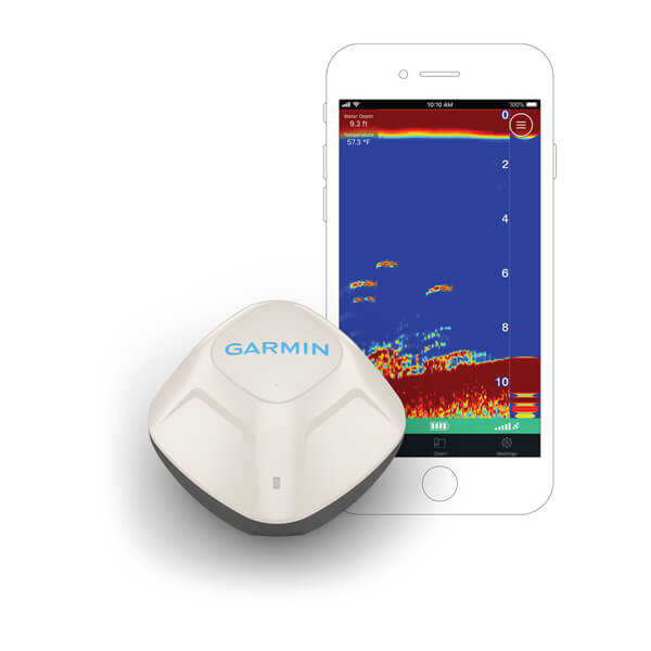
A current alternative for simple 2D streaming and the Garmin ecosystem. The GPS version is essential if you want to create your own maps.
View Manufacturer Specifications →First, you want to understand the area: Where are the plateau, drop-off, vegetation line, and deeper water? A basic sonar can get you started. If you fish the lake regularly, maps and waypoints provide the greater advantage. In that case, PRO+ 2 or a CHIRP generation is a better fit than a device that only shows the current depth.
Here, you are not looking for one perfect signal, but for the shape of the river: channel, outer edge, eddy, slack-water area, and transition. A Deeper with mapping and a more variable cone can help you read the section systematically. From there, continue to our zander and waters articles—because the transducer does not determine when zander (Sander lucioperca) are actually holding at the drop-off.
For carp, recurring depth contours, plateaus, transitions, and potential routes are more valuable than chasing individual arches. Mapping and notes often provide more value here than the most detailed possible image. The appropriate next content is therefore not just technology, but also our carp expertise.
You do not need a catalog of features, but a reliable decision-making tool. A basic entry-level device can be enough if you use it consistently: scan first, mark structure, and then fish the most likely zone deliberately. More technology is only worthwhile if you use it again on your next visit.
A device can help you discover a drop-off or change in bottom composition more quickly. However, it can miss a fish on the bottom or misclassify an echo. So do not mistake fish symbols for knowledge. Scan the same spot from two directions, maintain the same retrieve speed, and combine the display with season, light, temperature, current, and prey. We explain how this works in the Deeper Hotspot Guide.
The previous article and its URL have been retained; older models were not artificially kept as recommendations. Manufacturer images: Deeper and Garmin, accessed August 24, 2026. All manufacturer specifications are linked for the respective device. Independent review status is claimed only when we have actually used a device ourselves for an extended period.