
DEEPER TIPS · MAPS & WAYPOINTS
How Do You Find Better Fishing Spots with Deeper Lakebook?
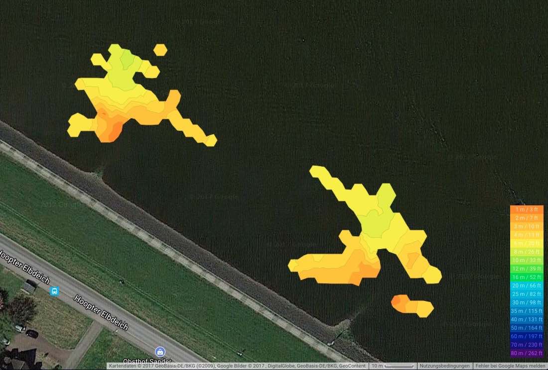
The existing Lakebook article highlighted an important idea: A large screen and a map are useful not only during the session. They also let you prepare and review. For shore anglers, that is often the greatest benefit of a castable fish finder. You no longer start from scratch on every visit.
What can you learn from the Deeper map before a day of fishing?
Do not open the map asking, “Where is the catch spot?” Instead, ask a specific question about your target fish. Where might there be a deeper refuge in summer? Which shallow edge warms up faster in spring? Where does the current meet calmer water? The map helps you prioritize these areas before making your first casts.
Which structures on the map are potential hotspots?
At a quarry lake, a shallow plateau and its drop-off can be promising. On a river, the head of a groin, channel, eddy, and transition between the main current and slack water are often better places to start. When fishing for carp, a recurring route between deeper and shallower areas can be more important than a single hard spot. The map provides the structure; your knowledge of fish puts it into context.
Which notes turn a waypoint into genuine knowledge of the water?
- Record the structure and depth as precisely as possible.
- Add the water level, temperature, and weather.
- Note whether you saw fish, prey, following fish, or nothing at all.
- On your next visit, check the same spot systematically, but not blindly.
Which mapping mistakes should you avoid when using Deeper?
A depth reading can appear different than expected because of retrieve speed, cone angle, casting angle, or water level. Therefore, check unusual contour lines again. And do not uncritically compare spring flood conditions with a low-water day in late summer. The map remains valuable when you treat it as a working tool—not as an unchanging truth.
How do you turn a map into a fishing plan instead of a collection of red dots?
Choose one spot with structure, one with potential prey, and one alternative for changing conditions. Then make deliberate decisions: Which depth will you fish first? Which lure size matches the suspected food source? When will you move? This simple preparation has a greater impact on your time on the water than the next menu feature.
The article uses the existing Lakebook video and its approach to preparation and review. The text supplements it with a clear process for waypoints, maps, and turning them into a fishing plan. The availability and names of individual Deeper mapping features may change.